DRIVE:
WALKING BOX SCENIC DRIVE
Type: Out and back.
Total Trail Length: 20-30 miles, depending on where you turn around
Trail Surfaces: Well-graded gravel 2-lane road that receives periodic dust retardant treatment.
Vehicle Type: 2WD vehicles
Difficulty: Easy to moderate
OVERVIEW
If you are interested in seeing some of the most diverse and biologically significant Mohave Desert habitats, colorful history, and impressive sawtooth-type mountains, then this could be just the destination for you. This is a place of breathtaking panoramas and natural history. The Walking Box Ranch, New York Mountains, Castle Mountains, and Castle Peaks are beautiful and historically fascinating places—think Joshua tree forests, washes filled with willows, and rugged mountains where herds of desert bighorn sheep still roam. The remoteness of this drive offers visitors the chance to experience the solitude of the desert and its increasingly rare natural soundscapes.
DIRECTIONS & ACCESS:
From Las Vegas take U.S. 93/95 South to Railroad Pass.
Just past Railroad Pass is the turnoff for U.S. 95.
Turn right and stay on U.S. 95 to you get to Searchlight.
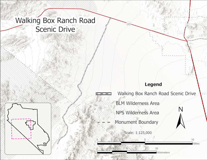
From the town of Searchlight, take the Nipton Road (Nevada Highway164) for 7.0 miles to Walking Box Ranch Road.
Turn left on the Walking Box Road.
Mile marker 15 is a good place to turn around, just before the Castle Mountain Gold Mine.

ABOUT THE ROUTE:
The drive starts at the junction of Nevada Highway #164 and the Walking Box Ranch Road. It is 10 miles to the California state line on the Walking Box Ranch Road, where the drive leaves the Avi Kwa Ame National Monument and enters the Castle Mountain National Monument. It is recommended that you take the Walking Box Ranch Road another 5 miles into the Castle Mountains National Monument, as the landscape remains very scenic and diverse, with close-up views of the serrated Castle Peaks. Mile markers mark the mileage along the road.
About a half mile into the drive, you pass the historic Walking Box Ranch on the left. The complex is not presently open for public tours, except for special events. It is hoped that regularly scheduled tours will be available in the near future. The ranch has a fascinating history tied to cattle grazing starting in the early 1900s to its most colorful period when film stars Rex Bell and his wife Clara Bow owned the property, and it became a place for the Hollywood elite to escape.
Cattle ranching in the Avi Kwa Ame National Monument area began at the turn of the 20th century when the Rock Springs Land and Cattle Company (RSLCC) began to move cattle into the Piute Valley from their headquarters in California. The Walking Box Ranch became their base of operations. The grazing rights associated with the Walking Box Ranch, almost a million acres, extended north to Railroad Pass, east to the Colorado River, south to the Newberry Mountains, and west across the Crescent Peaks to the California border.
The RSLCC suffered financial reverses as a result of several seasons of drought in the 1920s and decided to sell its assets, including land, livestock, grazing, and water rights. As part of this disposition, the Nevada ranch lands were given to John Woolf. The ranch was then purchased by Rex Bell and Clara Bow in May, 1931. Walking Box Ranch continued as a working cattle ranch until Bell sold it to rancher Karl “Cap” Weikel in 1951. Weikel sold the ranch to Viceroy Gold Corporation in 1991, which restored the ranch house for use as an executive retreat. The Nature Conservancy acquired the property in the 1990s, and the BLM purchased the ranch and the surrounding ranch site in 2004. The property was added to the National Register of Historic Places in 2009.
The remote mystique of the Mojave Desert is what attracted Rex Bell and Clara Bow to purchase the ranch, who craved solitude and a way of escaping the rat race. In late 1931, Bell and Bow constructed a two-story, 5,060-square-foot home in the Spanish-Colonial Revival style popular in Southern California during the 1920s and 1930s. Walking Box Ranch gets its name from the ranch brand, a camera box on a tripod. Structures on the property include the house, a barn, caretaker’s residence, guesthouse, tennis court, a 60- by 120-foot swimming pool, and a 575-square-foot cactus garden. On the first floor, a grand living room features a dramatic stone fireplace; upstairs, Rex and Clara’s bedroom overlooks the Joshua tree forest and Avi Kwa Ame (Spirit Mountain).
Rex Bell and Clara Bow were some of the biggest film actors of the 1920s and 30s. Rex Bell acted in a variety of films, but soon earned a reputation of starring in roles he had a personal affinity for Westerns. Bell married Clara Bow in December 1931, who had earned the reputation of “The It Girl” in Hollywood. She earned her success in the silent film industry initially before transitioning to “talkies,” or films with audio capability. Typically playing characters who embodied sexuality or broke traditional gender roles, Bow became one of the most famous celebrities of her time and even inspired the famous Betty Boop cartoon character.
Both of their careers took off in a way they couldn’t anticipate. Considering they were some of the most famous actors of their time, their Walking Box Ranch home soon became the most famous ranch in the state of Nevada, attracting other Hollywood icons to visit. The Walking Box Ranch was an escape they all craved, and the ranch soon became a regular hangout for Clark Gable and Carole Lombard, along with Errol Flynn, Lionel Barrymore and John Wayne. Together, Rex and Clara retired from the film industry and lived at their fortress, where they were perfectly content with cowboying for real, tending to elaborate rock and cactus gardens, and drinking in every minute of silence they had created for themselves in their “Desert Paradise.” Here, they raised two sons, Rex Jr. and George. Bell and Bow separated in the mid-1940s and Bell went on to serve as Nevada’s lieutenant governor from 1955 until his death in 1962.
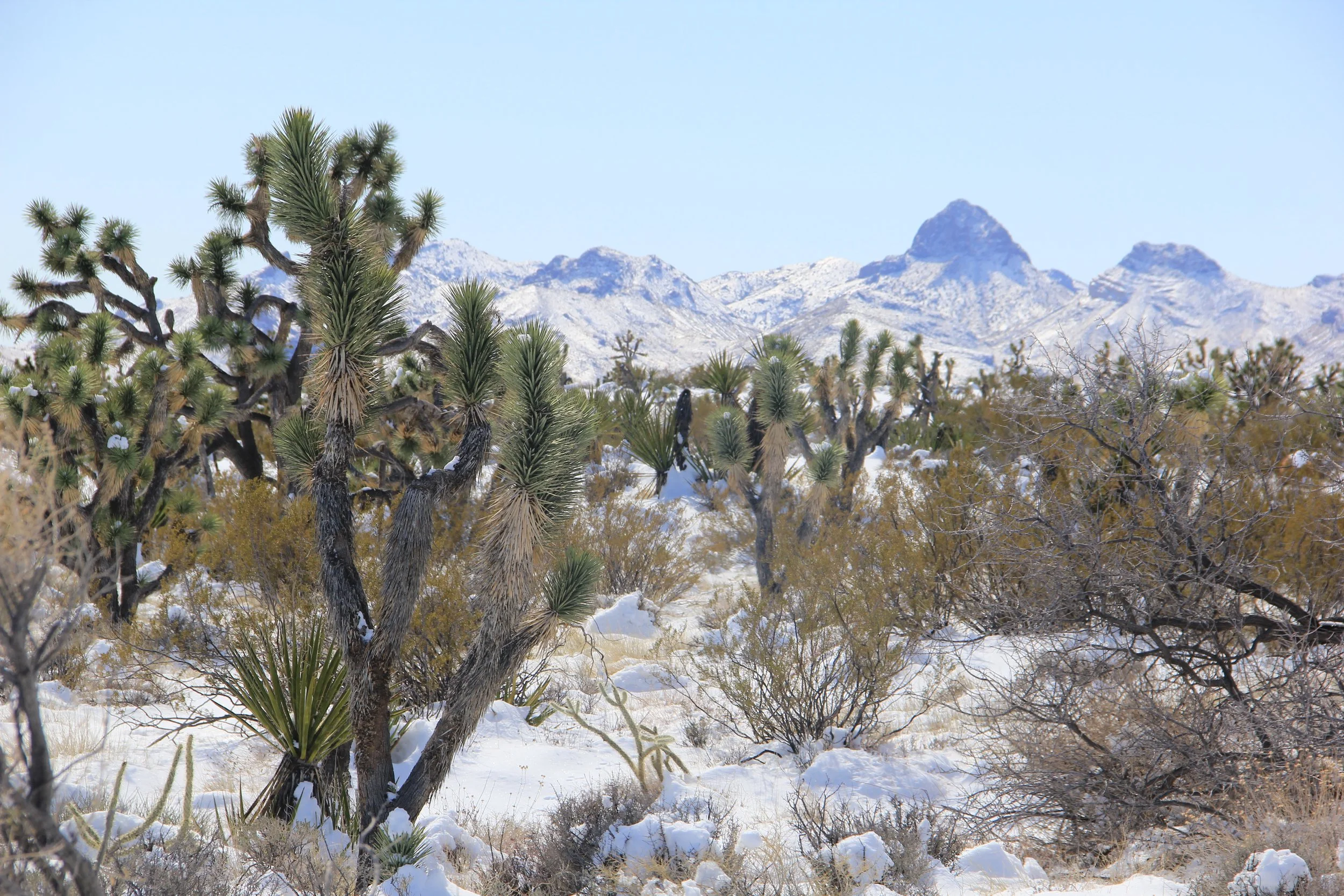
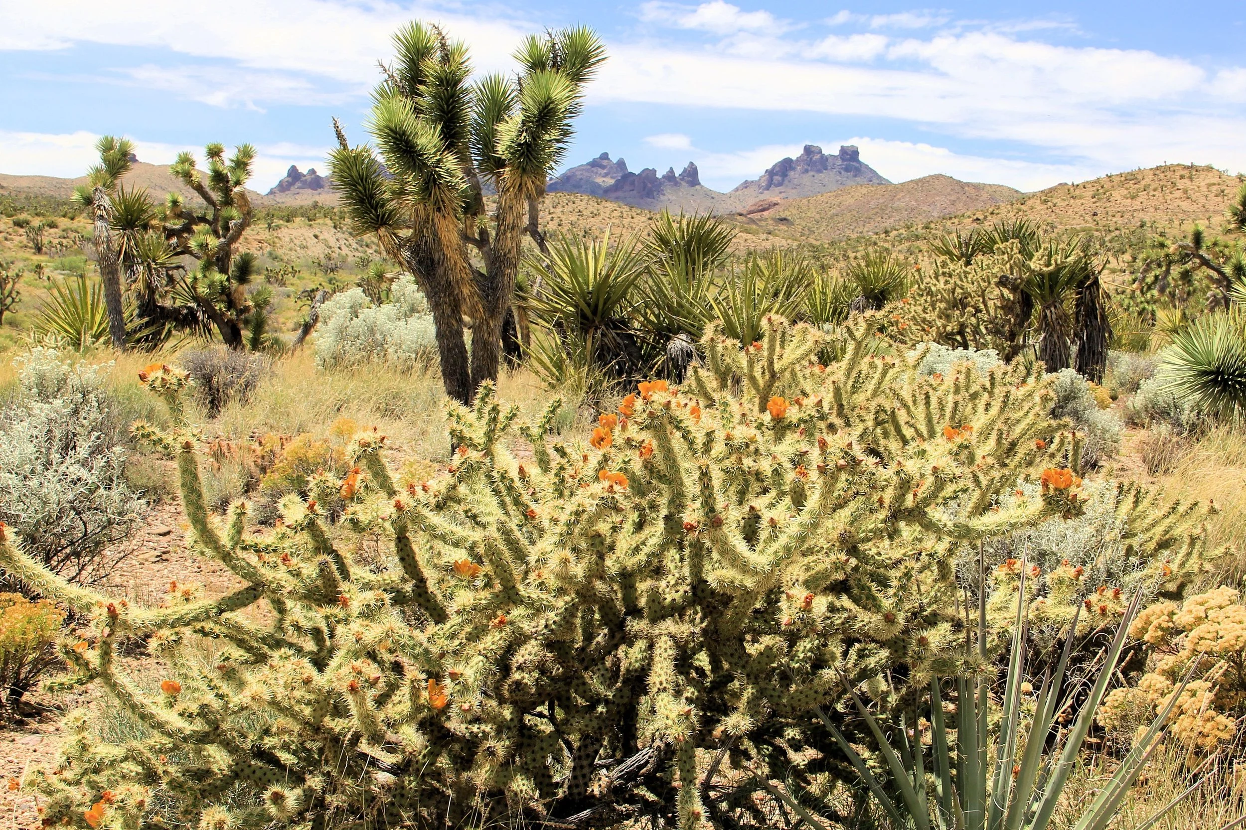
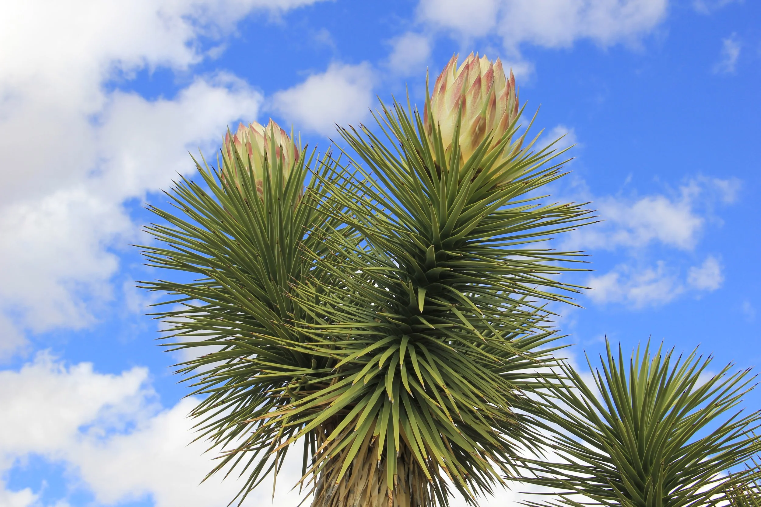
Once you pass the Walking Box Ranch, you are traveling through a thriving Joshua Tree Woodland, one of the most impressive in the entire Mojave Desert. You are witness to a healthy ecosystem of plants and animals perfectly adapted to the harsh desert environment. Here it is possible to observe a lot of interesting plants and a chance to get up and personal as the road is wide enough to pull over to the side. The Joshua Tree is the symbol of the Mojave Desert, like the Saguaro is the symbol of the Sonoran Desert. Although we refer to the Joshua as a tree, they are actually a member of the Agave family. Until recently, it was considered a giant member of the Lily family. However, modern DNA studies led to the division of that formerly huge family into 40 distinct plant families. Because of these studies, Joshua trees now have the more accurate Agave family designation.
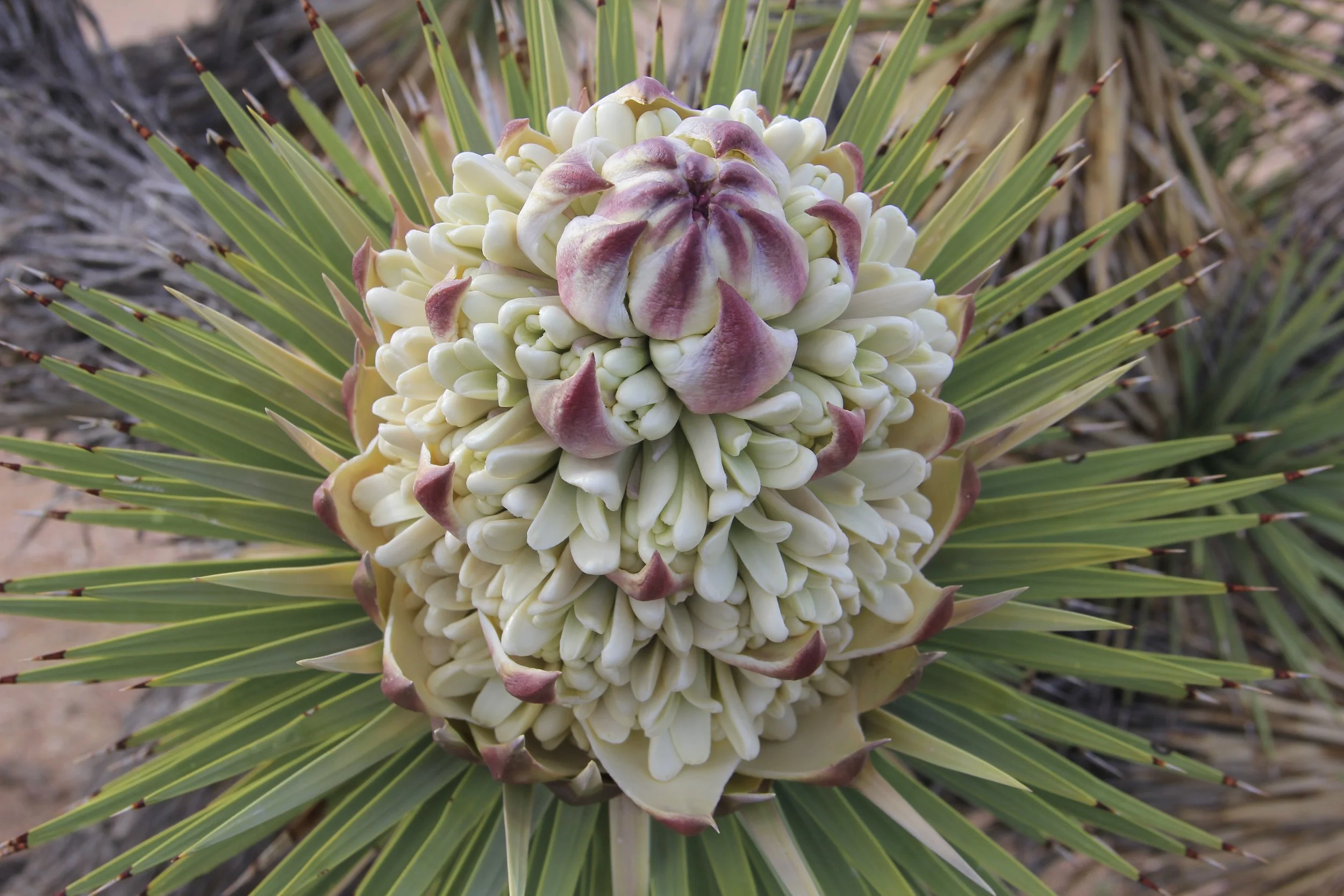
Joshua Trees can do with very little water, thus ideal for the hot desert climate. Joshua store water in their fibrous trunks and have hundreds of spaghetti-like roots that help them collect rainwater. Spring rains may bring clusters of white-green flowers on long stalks at branch tips. Like all desert blooms, Joshua trees depend on just the perfect conditions: well-timed rains and a crisp winter freeze. In addition to ideal weather, the pollination of flowers requires a visit from the yucca moth. The moth collects pollen while laying her eggs inside the flower ovary. As seeds develop and mature, the eggs hatch into larvae, which feed on the seeds. The tree relies on the moth for pollination and the moth relies on the tree for seeds for her young—a happy symbiosis.
Joshua trees are a keystone species, meaning they host a variety of additional organisms that otherwise would be rare or absent altogether, and so add to the landscape’s richness. Scott’s orioles are particularly fond of weaving their basket-like nests in Joshua trees, as are cactus wrens. Ladder-backed woodpeckers excavate nesting cavities in the soft trunks of Joshua trees, holes that are later used by western screech owls, and western fence and desert spiny lizards. Joshua trees regularly shed branches that fall to the ground and there provide habitat for desert night lizards and night snakes and beetles.
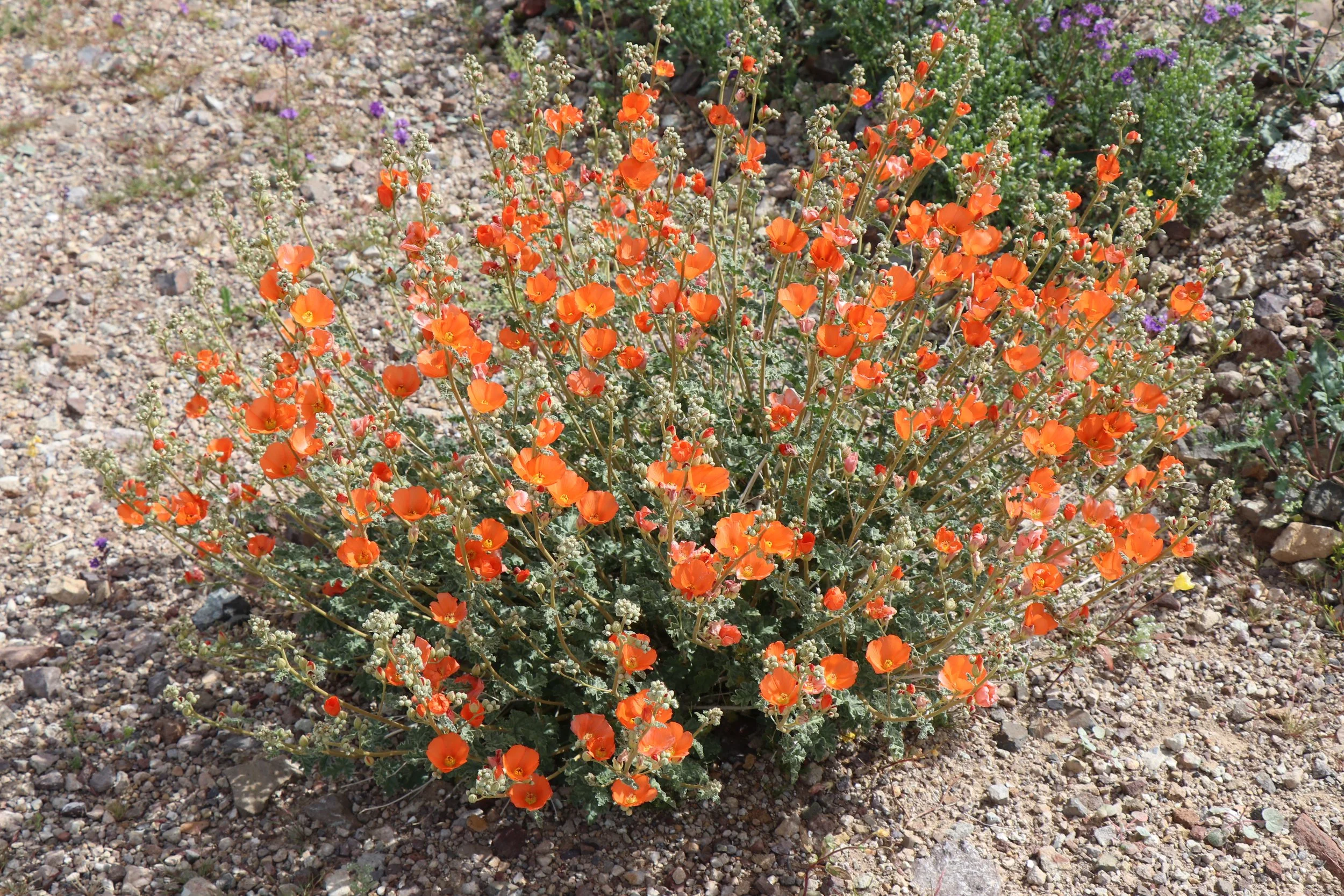
In addition to the Joshua trees, their cousins, the Mojave and banana yuccas, are also present in abundance. The cactus family is also well represented here, with red-spined barrel cacti surprisingly abundant, along with a healthy diversity of chollas and a number of other common (and less-common) Mojave species. Cacti store water so well that dehydrated animals target their reserves whenever possible. Cacti have, in turn, developed spines to keep animals away. Their pointy spines also help shade the stem and lessen wind stress by breaking the wind into pieces. Cacti root systems are large but shallow so they can soak up as much water as they can as soon as it rains. Large barrel cactus can survive for over a year without rain.
Around the three-mile mark, you start getting better views of Avi Kwa Ame (Spirit Mountain) in the distance to the southeast. Avi Kwa Ame is part of the Newberry Mountain Range and is a sacred place to 10 Native American tribes in Southern Nevada, California, Arizona, and Mexico who consider the mountain the beginning of creation and the spiritual and geographical center of the world. Mojave Tribal elders refer to the mountain as, “The place where shamans dream.” The mountain is capped by white granite bluffs. When driving the Walking Box Ranch Road as the sun starts setting in the west, the white granite bluffs often turn an impressive pink/fuchsia color.
On the right side of the road, looking west, are the New York Mountains, and the tallest peak is Crescent Peak at 5,997 feet. The historic Crescent Mining District is located in the northern part of the New York Mountains. The area contains the remnants of a rich history of mining turquoise and gold, including evidence of railroad construction, mineral exploration, and extraction. The area was a hub for turquoise mining in the late 19th century. There is evidence of mining in this area by Indigenous peoples since at least the late 13th century. Workshops, homes, pottery, and polishing tools have all been found, indicating that Indigenous peoples mined the Crescent Peak area for turquoise long before Europeans permanently settled in the Americas. The area was later developed for gold mining.
At the 6-mile mark, there is a big bend in the road and the route heads west through the Upper Lanfair Valley with Castle Mountain on the left (south) and the New York Mountains on the right (north). The highest peak in the Castle Mountains is Hart Peak, at an elevation of 5,543 feet. This is the prominent pyramidal-shaped mountain. The Castle Mountains are composed principally of volcanic tuffs and breccias; deep erosion of these rocks has formed a number of sharp summits. There are striking views of these volcanic peaks along this section of the drive.
At mile marker 8, there is an old corral on the right-hand side of the road, a remnant of the historic cattle grazing period. On the left side of the road, across from the corral, is a spur road that heads south towards the base of the Castle Mountains. This is an excellent place to get out of your vehicle and walk down the road, even for a short distance. You get to see the grasslands up close, and there are good views of Spirit Mountain in the distance, looking southeast. This is what we are now calling the Castle Mountains Grasslands Trail. It is a 4 miles loop trail or can just be taken a short distance as an out and back hike. More information on that trail can be found on the Friends of Avi Kwa Ame National Monument website.
What is really fascinating about the landscape in this stretch of the drive is the abundance of desert grasses, which are not common in the Mojave Desert. This is the Mojave Desert’s best grasslands and a hotspot of botanical diversity. These perennial grasses are keystone species in this part of the Mojave Desert, and play critical roles in soil stabilization, carbon sequestration, nutrient cycling, water regulation, and erosion control. The unique plant assemblage includes 28 species of native grasses (about half of which are rare). The area also has the only stands of diverse C4 perennial grasslands west of the Colorado River, a subtropical grassland that is normally found in the Sonoran Desert uplands in Arizona and Mexico. The C4 grass species, such as galleta, burro grass, and false buffalo grass, found here flower and seed during the warm seasons of summer and fall, especially after strong monsoon rainfall events. These grasses use a four-carbon compound called PEP carboxylase in photosynthesis. This allows them to photosynthesize at high temperatures and in relatively dry conditions, making them more water-efficient than many other grasses.
This stretch of the drive is an important wildlife corridor between the New York Mountains to the north and the Castle Mountains and Piute Range to the southeast, providing a critical linkage for plants, animals, and water. The area supports a herd of desert bighorn sheep, as well as other large mammals like mountain lions, bobcats, and mule deer.
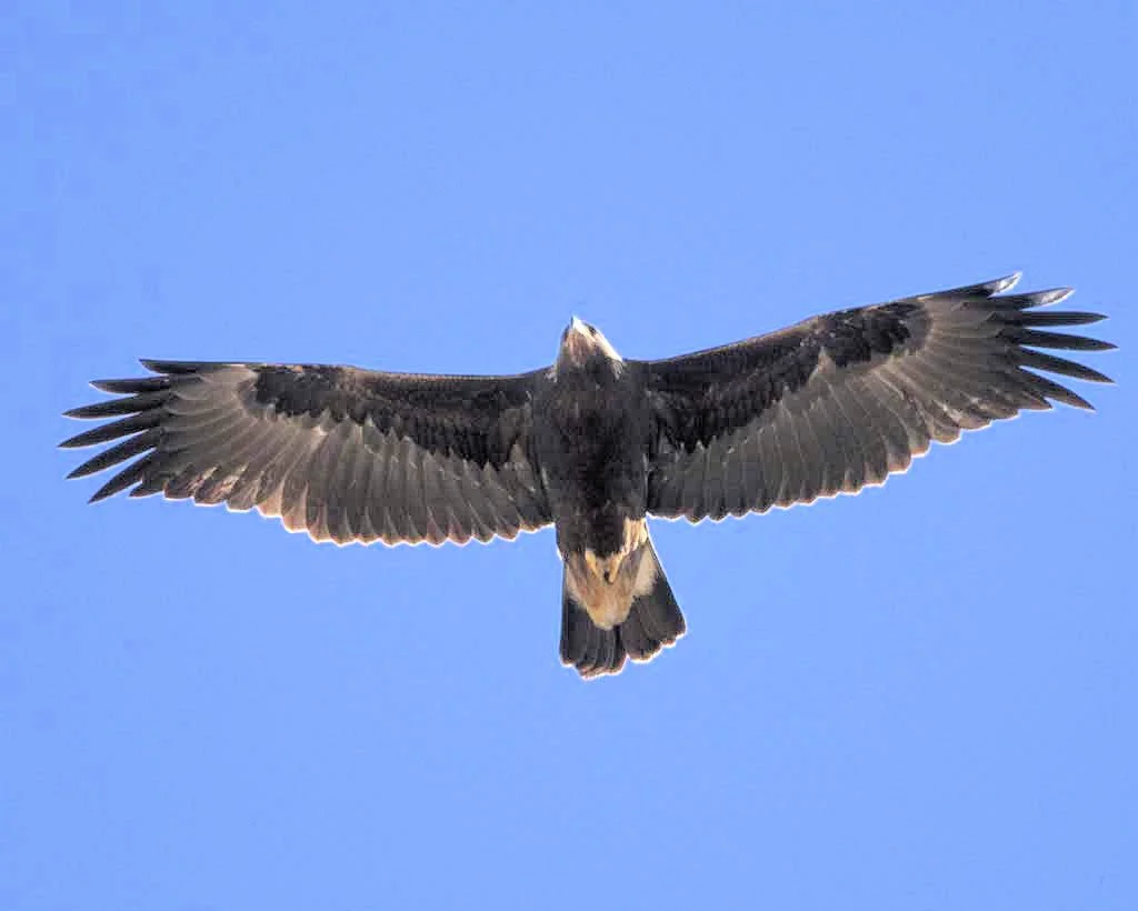
The bird population is very diverse, among the most common are gilded flicker, northern flicker, ladder-backed woodpecker, black-throated woodpecker, black-throated sparrow, red-tailed hawk, Swainson’s hawk, ferruginous hawk, crissal thrasher, golden eagle, burrowing owl, peregrine falcon, loggerhead shrike, cactus wren, Bendire’s thrashers, gray vireos, and Townsend’s big-eared bats. Numerous bat species live in rock crevices and mine remnants in the area. Also, Gila monsters have been observed in this area, but are not common.
The Mojave and Chemehuevi tribes have both occupied this area historically. Prehistoric petroglyphs, pictographs, and archeological sites are scattered throughout the area. They are typically associated with travel corridors and important resources which demonstrate the long-term significance of the Castle Mountains area for prehistoric inhabitants. The Castle Mountains area links places to the south, like Piute Spring, to areas north, such as an obsidian collection site.
At mile marker 10, you leave Avi Kwa Ame National Monument and enter the 21,000-acre Castle Mountains National Monument, established by President Obama on Feb 18, 2016, using his authority under the 1906 Antiquities Act.
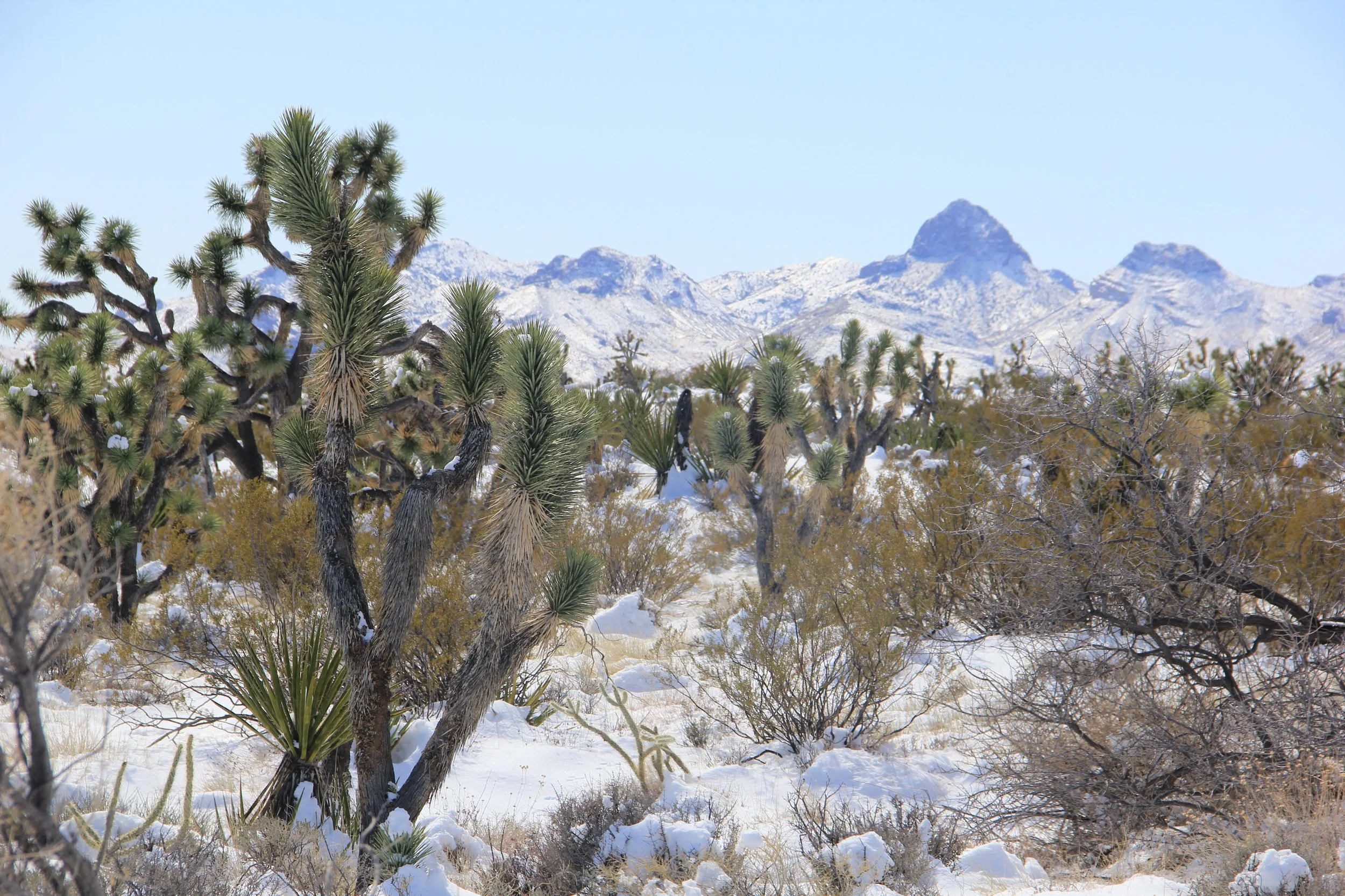
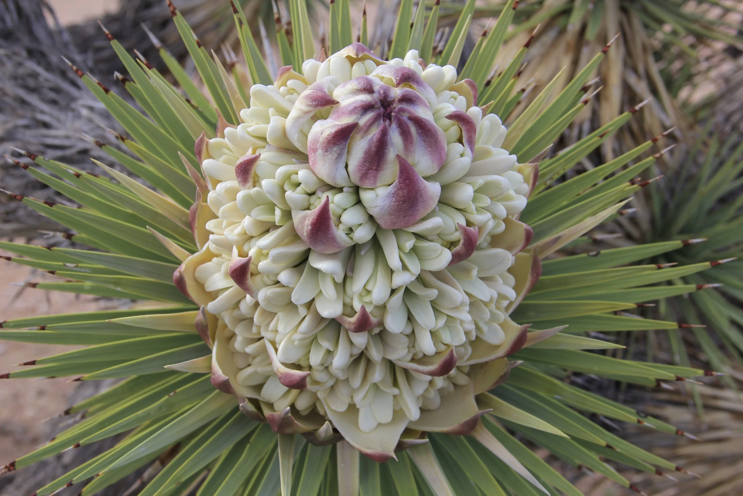

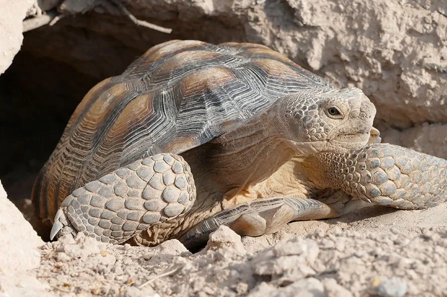
On the right, you will see the remnants of the York Fire that occurred in July/August of 2023. That human caused fire burned 93,078 acres, mostly in the Mojave National Preserve and the Castle Mountains National Monument, but also 9,127 acres within the Avi Kwa Ame National Monument. Unfortunately, areas impacted by the fire are expected to face challenges to natural recovery and may take many decades to regrow. Ideally, a burned area will recover naturally, but this is not always the case. Human-caused challenges like historic fire suppression and climate change have made natural recovery less likely in many burned areas, including the York Fire footprint. Joshua trees are threatened by climate change due to ongoing drought and changing weather patterns in the Mojave Desert. Experiencing a wildfire makes them more susceptible to mortality, especially the Eastern Joshua Tree found in the York Fire footprint. Eastern Joshua Trees branch closer to the ground and are less likely to sprout from their root systems. If an individual Joshua tree has more than 30% of its above-ground material scorched, there is only a 30% chance it will survive. A Burned Area Emergency Response (BAER) team worked with land managers to create post-fire restoration treatment plans.
Along the next five miles you get outstanding views of both the Castle Mountain on your left and the jagged Castle Peaks on the right. The Castle Peaks are a cluster of epic sharp pinnacles carved by erosion out of volcanic rocks. They are quite spectacular, rising abruptly from the Joshua Tree woodlands.
Mile marker 15 is a good place to turn around, just before the Castle Mountain Gold Mine which is a private inholding within the Castle Mountains National Monument. The mine is operated by the Castle Mountains Venture which is a subsidiary of Equinox Gold. Equinox Gold acquired the Castle Mountain Mine in December 2017 and completed a pre-feasibility study in 2018 with the intention of restarting operations. Castle Mountain produced more than 1.2 million ounces of gold from 1991-2004, when the mine was closed due to low gold prices. The pre-feasibility study outlined a two-phase development plan, with annual average gold production of approximately 30,000 ounces during Phase 1 using existing operating permits, and a Phase 2 expansion to more than 200,000 ouce2s of gold per year. The Phae 2 plans are now going through the extension environmental impact statement review process.
KNOW BEFORE YOU GO:
Should you decide to travel this route, you do so at your own risk. Remember, this is a very remote area and cellular service is spotty. There are no services along the drive so make sure to fill up with gas before heading out and make sure your vehicle is in good operational condition with a full-size spare tire and a jack. Always take the appropriate precautions when planning and traveling, including checking the current local weather, trail/road conditions, and land/road closures. Carry the appropriate safety, recovery, and navigational equipment and obey all public and private land use restrictions and BLM Monument rules. Carry a full-size spare tire and tire patch/plug kit—and know how to use it before you need to. Be prepared for spotty cell phone service or even no service. Bring more water and food than you think you’ll need in case of any emergencies.